[the Handbooks’ predecessors were] either general descriptions complied by persons not acquainted with the spots, and therefore imperfect and erroneous, or local histories, written by residents who do not sufficiently discriminate between what is peculiar to a place […] The latter overwhelm their readers with minute details of its history…the former confine themselves to a mere catalogue of buildings, institutions, and the like; after readings which, the stranger is as much as ever in the dark as to what really are the curiosities of the place.
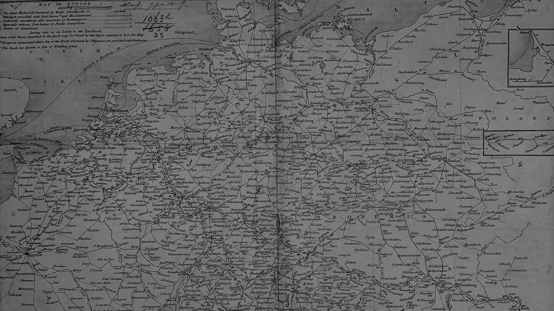
John Murray (firm). A Handbook for Travellers on the Continent: Being a Guide to Holland, Belgium, Prussia, Northern Germany, and the Rhine from Holland to Switzerland. With map and plans, J. Murray, London, 1854.
John Murray III’s Handbooks, also called “Murrays,” were comprehensive, categorical, up-to-date, and “objective,” and their direct influence on their market and cultural successor, the Baedeker guides, underscores their innovativeness and impact. Guidebooks were and are a culturally and rhetorically complex genre that simultaneously contributed to homogenized, pre-packaged travel while also expanding horizons for many of its readers. Throughout the century, guidebooks offered “cultural mastery,” a concept surely at the heart of Victorian projects like imperialism and capitalism, but they offered it to anyone who could pay the cover price. By the end of the 19th century the serialized, templated guidebook was a staple of British tourism and their popularity was such that they represented a way of viewing and experiencing the world.
The Handbooks’ many editions, published over the span of 75 years, are tangible evidence of their importance to travelers of the period. Murray’s first guide, A Handbook for Travellers to the Continent, was published in 19 editions through 1875, and sections of that series continued to be published until 1889. The first edition of this series, titled A Hand-book for Travellers on the Continent: Being a Guide through Holland, Belgium, Prussia and Northern Germany, and along the Rhine, from Holland to Switzerland, was published in 1836 and was penned by Murray himself.
Heatmaps
The above heatmap represents the variation in place names from the first three editions of the Hand-Book for Travellers to the Continent. Select a speed and the loop button; then press play. Zoom in and out and move map to see how places on the margins shift.
1 = 1836; 2 = 1838; 3 = 1839
