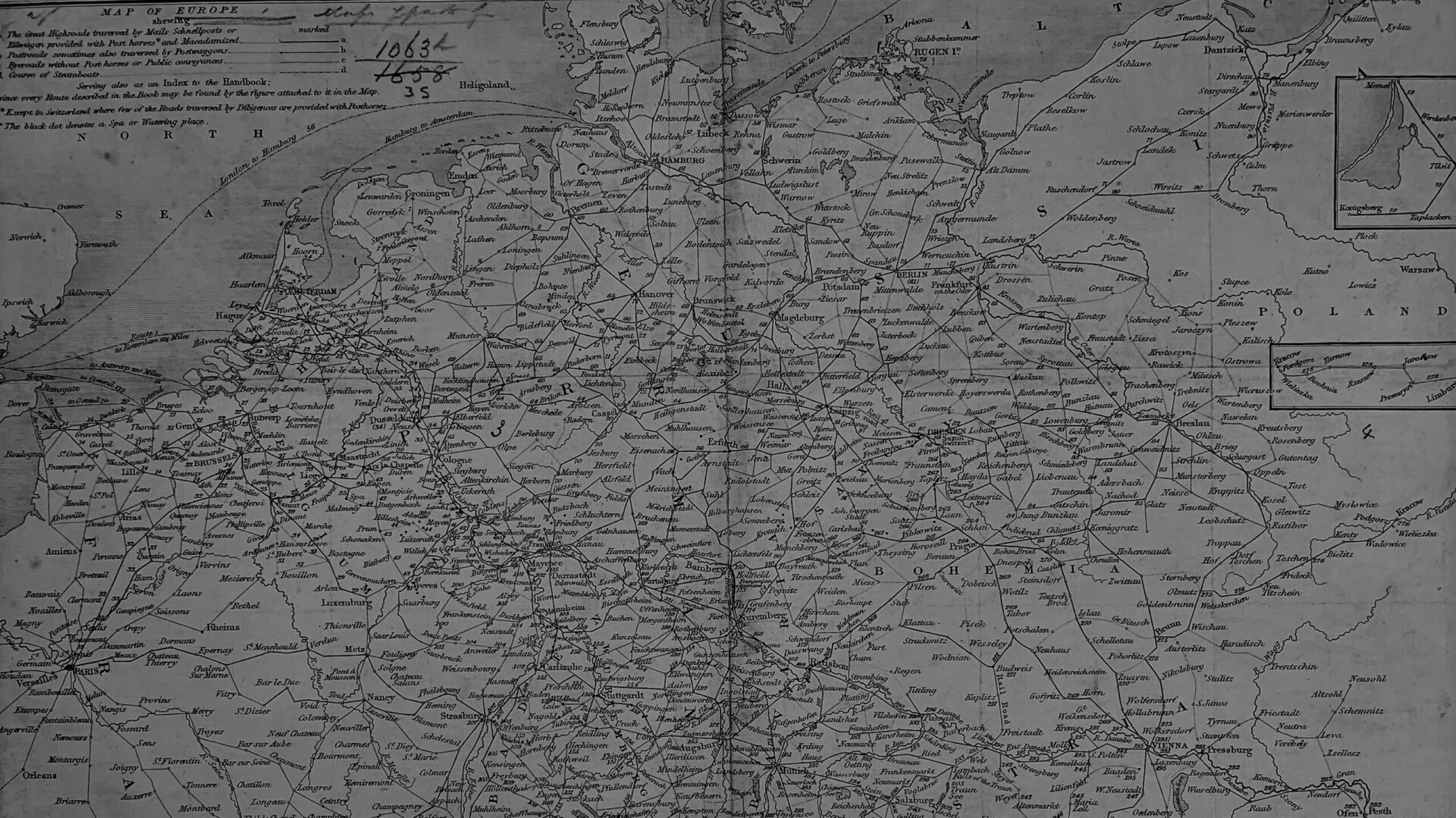
The size of the Murray Handbook corpus is such that a single scholar is unlikely to fully grasp the minutia of each edition. This twofold problem–plentiful but overwhelming information–is exactly the type that invites a digital humanities approach. Data-condensing and natural language processing tools offer methods for making Murray’s guides, once of “the greatest utility and comfort,” useful again.
Remediating the guides into map form draws attention to the lived consequences of textual changes: emphasizing the geographic and rhetorical underpinnings of Murray’s guides enables more nuanced understandings of 19th century attitudes about concepts like travel, nationality, class, and consumer behavior.
This project emerges from the idea that Murray’s guides were tools, methods for seeing and experiencing the world. If “Murrays” can be thought of as gateways to foreign spaces or frameworks for the physical and intellectual act of travel, it seems appropriate to apply contemporary digital tools, which represent a similar democratizing potential, to their study. Maps (as a tool) and mapping (as a method) seem especially pertinent to the Handbooks, not least because both span, and thus synthesize, the past and present.
Mapping Murray is an ongoing digital project that complements Sarah Schaefer Walton's book manuscript, titled A Century's Compass: Serialized Guidebooks and 19th Century Ways of Knowing. Walton is an Assistant Professor of English and the Director of Digital Humanities at Marshall University and the co-creator of Jane Austen's Desk, an NEH Digital Project for the Public.
